

























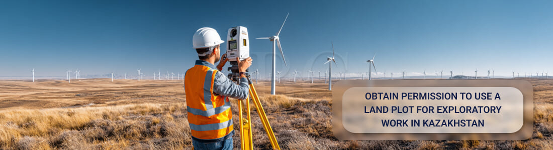



A contractor who sends a survey crew onto land it does not own needs an administrative ground for being there. A crew may run geodetic surveys, geological work or any other investigation on someone else's territory only once the local authority has approved it. That approval keeps a project clear of a forced halt to the work, an administrative claim or a civil action for unauthorized entry, and it is issued as a survey works permit in Kazakhstan.
I treat the instrument as a way of legalizing temporary entry, and it exists for the case where the initiator of a project is neither the owner of the site nor its land user. The owner keeps the land, and no right of possession passes to anyone. What the applicant receives instead is an individual act of the akimat, the local executive body with jurisdiction over the site. Through that act the akimat fixes the parameters of the works, sets the period for which the territory may be used, and binds the initiator to return the land to fit condition afterwards. Below I work through the legal basis, the requirements on the applicant, the documents and the electronic route to that resolution.
What a survey works permit covers, and what it does not
An applicant acquires no proprietary title. The akimat grants a temporary public-law ground for entering someone else's land, and that grant runs to one identified site, with coordinates, a period and a program of works settled in advance.
- geodetic survey of the terrain, with points fixed and benchmarks installed;
- geological drilling and soil sampling;
- soil studies covering composition and bearing capacity;
- land management measurements for design documentation;
- archaeological investigation ahead of construction;
- hydrological and ecological studies.
A crew performs every one of these on the plot itself. Each of them disturbs the surface or the soil layer. Possession and use stay with the owner throughout. The initiator receives neither, and works within the conditions the akimat approved.
A permit for survey works in Kazakhstan therefore settles three parameters at once. The authority approves where the survey happens, with the size of that area and its land category stated, and it fixes how long the crew may stay on the territory. That leaves the program itself, a schedule detailing the equipment and the extent of the intervention. An applicant states all of this in the application, and the resolution then carries it forward. The authority treats anything outside those approved parameters as a breach of land legislation.
I put separate weight on one further duty a survey works permit carries, namely restoring the territory once the crew leaves. In practice the initiator backfills boreholes and dismantles temporary structures. It also removes its equipment and rebuilds the soil layer. An initiator owes that duty whether or not it has also signed a civil-law contract with the owner.
An initiator holding the permit has no lease and no independent right to dispose of the land. What the permit secures is lawful entry onto someone else's plot for a defined task over a limited period, after which the initiator must leave the territory and repair what the work disturbed.
The legal basis
The Land Code allows engineering survey works to go ahead without withdrawing the territory from its owner or land user, whose title neither terminates nor narrows in scope. The Code permits a temporary intervention on stated conditions. In commercial projects a contract with the owner or land user is normally concluded as well, and in it the parties fix the entry procedure, liability for damage and compensation for any loss. The Minister of Agriculture approved the rules for the corresponding state service, and those rules govern the procedure and set out how the akimat reaches its individual decision.
Which authority issues the permit
Local executive bodies hold the power to issue the permit. In practice, the akimats of the regions, of Astana, Almaty and Shymkent, and of districts and cities of regional significance exercise it.
The akimat in whose territory the site lies takes the decision, while central government bodies issue no act on an individual plot and confine themselves to approving the rules and the methodological requirements.
Applicants file exclusively in electronic form. The permit does not exist on paper.
Who may apply for a Kazakhstan survey works permit
Both individuals and organizations may apply. The service passport, the official description of this procedure, names that recipient category directly. I stress that the legislator draws no line by type of activity, so a contractor delivering someone else's project and an investor planning construction or field development stand in the same position.
Three groups therefore qualify to hold a permit for survey works in Kazakhstan. Individuals may act on their own or through a representative. Commercial entities qualify whatever their corporate form. Non-commercial bodies qualify as well, provided the research connects to the objects set out in their charter.
For a legal entity the application is signed by its head or by another authorized person using a digital signature. The entity attaches no constitutive documents to prove its status, because registration data is verified against the state databases. An individual files through a personal account using a personal electronic digital signature (EDS), and adds a digital power of attorney where a representative acts.
An applicant need not own the land, and the akimat issues the permit for exactly the party that holds no possessory right to the territory and needs an administrative basis for temporary entry.
Contact our specialists
What goes into the electronic application
Every initiator files the same attachments, whatever its status. Citizens and organizations alike upload three documents through the state information system.
- an electronic application signed with an EDS;
- a file with the plan or scheme of the plot, with the boundaries of the intended survey zone marked;
- terms of reference for the surveys, describing the nature and scope of the work.
I give the request form itself the closest attention. Whatever an applicant types into those fields reappears word for word in the akimat's resolution. An error in those entries opens a gap between what a crew actually does on site and what a survey works permit in Kazakhstan authorized. Seven fields carry that risk.
- the type and purpose of the survey;
- the legal basis for the program, such as a contracting agreement or an investment project;
- the address or a description of where the territory lies;
- the approximate size of the intervention zone;
- the period of use;
- the category of land;
- the schedule of works.
Together those fields define the outer limits of what a crew may do on site. A crew that steps past the boundaries set in the resolution breaches the land use regime, and so does one that works beyond the period allowed.
An applicant should compare the site scheme against the cadastral data before filing, and check the area. A discrepancy in even a small part of the plot gives the akimat a ground for refusal, and it gives the landowner something to raise once work has started.
How to obtain a permit for survey works through eLicense, step by step
The whole registration runs in digital form on the eLicense state system.
Where the akimat raises no objections to the submitted data, the applicant has the resolution within ten working days.
The akimat can refuse sooner, once it finds the file incomplete or the information unreliable.
Conclusion
An initiator faces an administrative procedure, and the legality of everything the project does on site rests on completing it correctly. An applicant who misstates the area, the period or the type of survey opens a gap between actual work and approved parameters. Both the owner of the territory and the akimat can bring claims on that basis.
Counsel brought in before filing checks the legal status of the plot and frames the purpose of the program correctly. The same review settles the terms of reference and closes off the grounds on which the akimat normally refuses.
Regulatory risk falls, and the resolution granting a permit for survey works in Kazakhstan arrives without delay and without further requests from the authorized body.
Issuing power sits with the local executive body, which is the akimat of the administrative unit where the plot lies. The akimat acts through its structural division for land relations. Ministries and central agencies take no decision on a specific plot, and their role goes no further than the rules and the methodology of service delivery. Only the akimat issues the individual legal act, and it does so by resolution.
An applicant files the request electronically through the state permits portal. Inside the akimat, a designated officer prepares either a draft resolution issuing the document or a reasoned refusal.

 Opening a bank account in Kazakhstan
  Having an eye on the condition of digital mining sector in Kazakhstan
  Registration of a Payment Operator in Astana IFC Kazakhstan
  Launching an Investment Venture at the Astana International Financial Center (AIFC) in Kazakhstan
  Registration of a Cryptocurrency Company in Astana IFC, Kazakhstan
  Company registration in Astana Hub
  Redomiciliation of a company to the AIFC, Kazakhstan